I wanted to share this map, another faculty person recently posted.
CREDIT: This map was made by Mr. Nathan Phillippi of the University of North Carolina at Pembroke Geology and Geography Department. The original soil data source FAO/UNESCO Soil Map of the World. The map was constructed using the ESRI corporation’s ArcMap software.
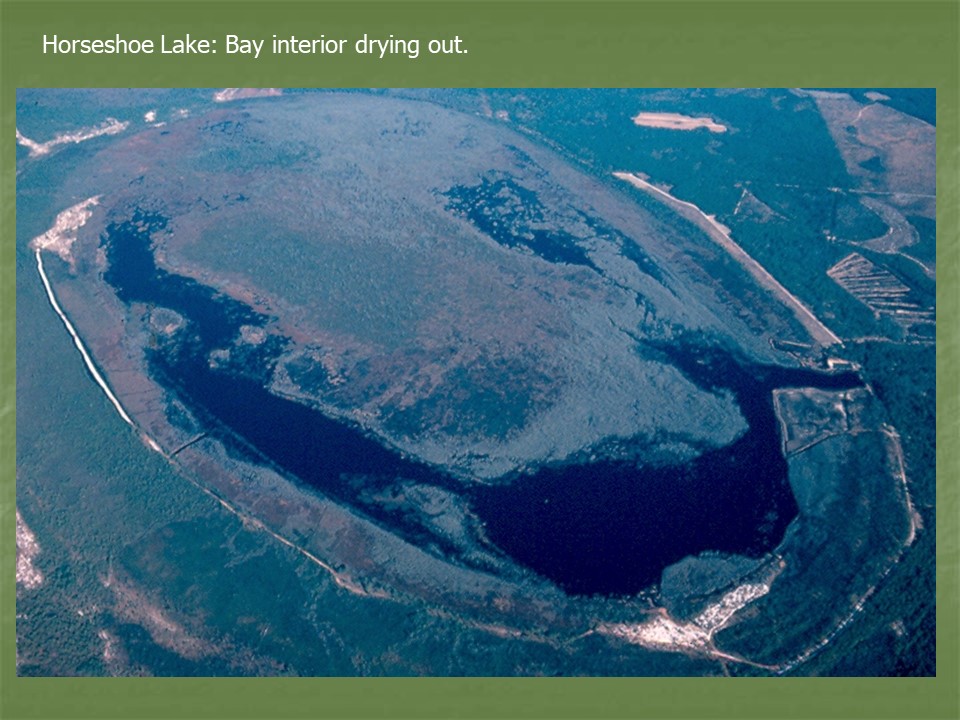
Click on the image below for gallery view, then click view full size 7200 x 7200 for largest detail image.
Click for full size!
I know … there is a hierarchical classification to world soil types. Soil types are categorized by their similarity. Here I will zoom in a little closer to North Carolina. It is a good LOOKING map at least.
You are still supposed to use the same legend as above. I looked at this and thought — where are the Ultisols?
Unfortunately, the map above use the United Nation’s Food and Agricultural Organization soil classification. It looks like we are somewhere in between Ferric-Acrisols and Gleyic-Acrisols. Huh? That is all too complicated for me. Actually, I do not like or appreciate this particular world soil classification — at least not for general education. I much preferred the “Seventh Approximation” classification, which was a taxonomic system that was similar to biological classification. Here is a good video clip.
Certainly for teaching in general education the Seventh Approximation is better. Just knowing the characteristics of each Soil Order would be important for students to learn. There is a reasoning for each of the root words in the soil order name, which says something about the environments in which they formed and developed. This concept is well illustrated in the video below:
If you want to untangle the UN’s soil classification system I suggest these global soils links:
References and Links to the world soil classification used by United Nations FAO see the links here:
I’m only going to consider the lower 48 of the United States as that’s all that is shown on this map (sorry Alaska and Hawaii). It is important to take a look at the map legend first. The data have been classified into categories based on the annual average precipitation received (A “normal” is a 30 year average.) These numbers are a sum total for the entire year. Rain totals vary from a low category of less than 4 inches per year, to the highest category of over 160 inches received annually. Broadly speaking, one can see that it rains much more in the eastern half of the US as opposed to the western half of the United States, with the big exception being along the northwest coast. There the precipitation totals are very high.
If you’ve ever driven across the United States on a car or a bus trip, one of the things that you will notice is that the environment gets drier from east to west. You see fewer trees and more areas of grassland as you go farther west. The grasses also get shorter as you travel west, until eventually they run out, and you are in more or less a desert bunch-grass desert environment. You’ll notice that the agriculture changes – there is a lot of corn in the eastern United States and in the eastern prairies, but when you start getting out into the areas of the Great Plains there’s not so much corn anymore.
Like all climatic boundaries, the wet-to-dry spatial trend is a gradual effect — not as abrupt as shown here!
There are wheat and small grains — then farther west there is a zone war where it’s too dry for that. You have open rangeland until you get to some of the drier portions of the West. However, on the northwest coast you have temperate rainforest, much wetter than anywhere in the east.
What explains this pattern?
The Orographic Effect and “Rain shadows”.
Weather basically moves from West to East across the mid latitudes. Air that has been over the Pacific Ocean accumulates a lot of moisture and as it moves inland to the western coast states it encounters a rise in topography. At the mountains air is forced to rise, it then expands and cools. You have a lot of precipitation on the wet windward (or wind facing) sides of slopes, and you have less precipitation on the dry leeward (protected) sides of slopes. Precipitation along windward sides may be great, especially in the Pacific Northwest along the coast of Washington Oregon and Northern California. As you look farther inland to the western states, where there are mountains you again have air that’s forced to rise, and it rains out, and then it descends and dries out, moving to the next mountain range — and so forth. See this animation video from YouTube.
Some mountain areas in the western states have a lot of rain and snow, although the overall region of the West is dry. By the time Pacific air gets into the continental interior, almost all the moisture has been squeezed out. Note the dry continental interior areas of northern Texas, Panhandle of Oklahoma, and western Kansas and Nebraska.
Maritime Tropical Air Masses.
Air masses over the Gulf of Mexico are warm and moist maritime tropical air masses. These move over the eastern portions of the United States quite frequently. Since weather basically goes from West to East, the western states receive little of this moist air from the Gulf.
There are greater amounts of precipitation along the Gulf Coast states of Louisiana, Mississippi, Alabama and the panhandle part of Florida. One can also see some orographic effect in the southern Appalachian Mountains, near the confluence of eastern Tennessee, northern Georgia and western parts of the Carolinas.
Convection: Summer is the time of convectional storms. The Sun warms the ground, and then the warm air rises, where it will expand, cool and form rain clouds. The moist air from the Gulf does not need much coaxing to form summer thunderstorms.
There is no true dry season in the eastern USA, however summer is usually wetter due to summertime convective showers. It should also be noted that the southeastern states receive a significant amount of their annual precipitation from tropical storms.
Cyclonic storms, Lows and Fronts.
Low pressure is associated with clouds and precipitation. The migrating low pressure cells or cyclonic storms have their characteristic warm fronts and cold fronts attached to them. Lows are like “egg beaters” which mix unlike air masses together. Either the cold air mass kicks the warm air mass up making it cool and precipitate (cold front), or the warm air mass glides over the colder air, where it cools and condenses (warm front). These cyclonic storms bring quite a bit of precipitation and especially those that move across the Great Lakes and pick up significant moisture there. The “snowbelts” around the Great lakes are in evidence.
Ocean Currents: Warm or cold ocean currents have an influence on the temperature characteristics of coasts, but they also influence precipitation pattern.
A warm water current such as the east coast Gulf Stream enhances convection and air moving over this current becomes moist and unstable. Places near a warm water current would be warmer than they would otherwise be, but these areas would also be wetter than they would otherwise be as well. Conversely, a cold water current such as the California Current may stabilize summer air so that it resists uplift. Low-latitude locations next to a cold water current are drier than they would otherwise be. It does not rain much in southern California in the summertime.
Southern California has a Mediterranean climate that’s dominated by subtropical high pressure in the summer. The water off of the coast of California is the cold California Current. Most people think of California and think of “sun and fun”, the Beach Boys and surfing and so forth but actually the water off of the coast is cold water. Air from the ocean is actually stable. When you have cold water in a low latitude location where the air is warm, that cold water chills the air above it creating a temperature inversion or a stability lid so air doesn’t rise very much. The inversions explain the lack of convective precipitation as well as the build up of smog in southern California.
Distance from moisture. It stands to reason that areas far inland from large water bodies are drier than coastal areas. Coasts are wetter than the continental interiors, especially when you look in the Southwest region of the United States. The mountains there also block off a lot of the moisture that would otherwise be coming from the Pacific. If you sum up the cold water currents, mountain barriers it is not surprising that the Southwest border area of California Arizona and Nevada is mostly desert environment.
That last one is probably the easiest concept to understand — maybe I should have started with that one!
Do you have any questions about all this? Leave a question in the comments, and I will provide you with an answers and some reference links.
This is the slide show presented at the 2008 Southeastern Division of the Association of American Geographers. Although I presented, and claimed co-authorship, the vast majority of this research was completed over a span of 25 years by Dr. Thomas E. Ross, now a Faculty Emeritus at the University of North Carolina at Pembroke.